Gmail Network Map
In: Culture Internet/tech
9 Jul 2013MIT has a fun toy which let’s you conduct network analysis of your gmail emails. There’s a thread over at Slashdot that discusses how this analysis of meta data is similar to the Snowden revealed PRISM project.

Color Theory in Practice
25 Jun 2013Lots of books try to convince us that different colors are associated with different emotions and messages, but John Nelson decided to put google image search results to the test. Check out the comments for some good discussion of the strengths and weaknesses of the technique.


Evolution of Video Game Controllers
In: History Internet/tech
25 Jun 2013A trip down time-wasting memory lane.


Tide Predictions
25 Jun 2013An apparently beautiful diagram of tide predictions for June 2013 in the SF bay – unfortunately, she didn’t post a big enough version for me to be sure how good it really is. Boo.

New DC Metro Maps
18 Jun 2013There really aren’t many differences between the two current proposals, which were designed to incorporate the new Silver Line to Dulles airport. As mentioned in the WashPost comments, the only major flaw I see is using the same color for the background beltway and DC boundary as for the Silver Line.


To be honest, I still prefer a lot of the options that Cameron Booth proposed in his 2010 reworking:

Every once in a while you discover something that is obviously useful, but for some reason, you never even considered it before. That happened to me today in the form of graph digitizing software. Basically, it lets you create a chart in reverse: it starts with an image of an existing chart, and extracts the data. Why is this useful? Well, sometimes you find a great chart and want to use it for a project, but you don’t have access to the original dataset (it’s lost in time, etc). I’ve gotten around this in the past by tracing images in vector software – but obviously, extracting the data provides more precision and flexibility.
There are several digitizing programs out there, but I like Graphclick because it works with multiple chart types and has a simple interface (though it only works on Macs). Un-Scan-It is a nice one that works on PCs and Macs (but is a bit expensive).


How does Google shape its brand through design? Check out their “Visual Assets Guidelines“. It’s all very similar to the flat design movement, but the level of detail is fascinating.


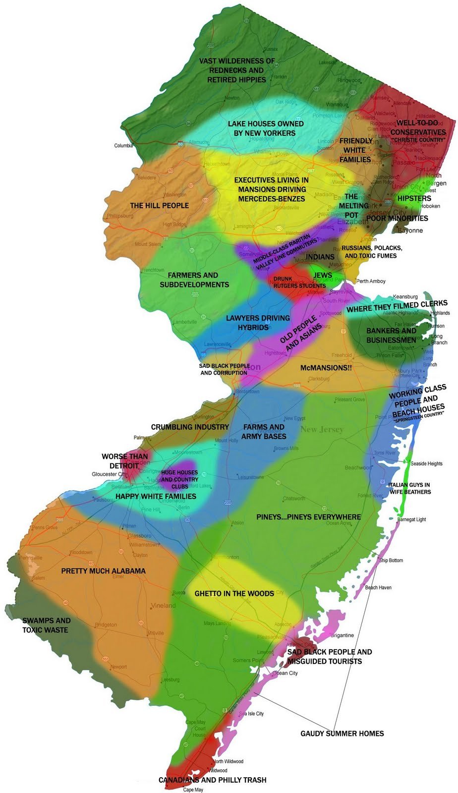
22 Maps of Linguistic Differences
11 Jun 2013This has been making the rounds. I like that they used alpha shading to show variations. And it’s pop, not soda.

History of Spying (on ourselves; 1791-2013)
11 Jun 2013A wonderful interactive timeline of legislation, rulings, and events related to domestic surveillance in the United States. You can drill down into each event for an explanation, and links to primary sources (like the full text of legislation, etc).

With the conference release of iOS 7 yesterday, there is much talk about it’s “flat design”. What is flat design? Designmodo has a nice article explaining the basics.

While I generally love flat design concepts, Apple really choked on some of the implementation – particularly the icon designs. Check out photos, newstand, game center, and settings below. Barf. They are the way too cluttered busy and abstract – the exact opposite of what they should be.

Animated Wind Map
6 Jun 2013A very cool real time animated map of wind.

Also some historical snapshots, like Hurricane Sandy:

Fruits and Vegetables
In: Food
31 May 2013Two comprehensive charts from the good people at Pop Chart Lab – both available as posters.


Things have changed quite a bit, but is anyone (including the children) happier or better off?

Energy Flow Maps
31 May 2013We’ve seen similar maps before, but it’s nice to have them all together from one reliable source.


What is Chart Porn?
An addictive collection of beautiful charts, graphs, maps, and interactive data visualization toys -- on topics from around the world.
Categories
- Bailout (118)
- Chartporn Related (3)
- Commentary (21)
- Culture (669)
- Emerging Markets (66)
- Employment (245)
- Environment/weather (133)
- Finance (298)
- Food (92)
- Global Economy (373)
- Graphic Design (bad) (26)
- Graphic Design (general) (183)
- Graphic Tools (23)
- History (158)
- Housing (162)
- Humor (204)
- Innovative (183)
- Interactive (545)
- Internet/tech (97)
- Maps (578)
- News Media (34)
- Politics (329)
- Reference (97)
- Science (331)
- Source: Economist (101)
- Source: FT (92)
- Source: NYT (147)
- Source: Ritholtz (76)
- Source: USA Today (27)
- Source: Washington Post (90)
- Source: WSJ (135)
- Sports (58)
- Stock Market (74)
- Uncategorized (2)
- Updated regularly (76)
- US Economy (553)
- Video (22)
- Aram Korevaar: This chart is now being used as a projection in which countries such as China see themselves as in a [...]
- David: Welcome back Chart Porn! [...]
- J S: Thanks for the great story. Miss reading this blog. Hope to see you more active again. [...]
- jake: I lived in a DC row house for 6 years, and I'm writing this comment from my tiny 1 bedroom apartment [...]
- ronny pettersen: Hilarious and unfortunately accurate... ;-) [...]